Log in
All resources
Create a design
33,884 Free Images of 1764 Maps
maps with cartouches
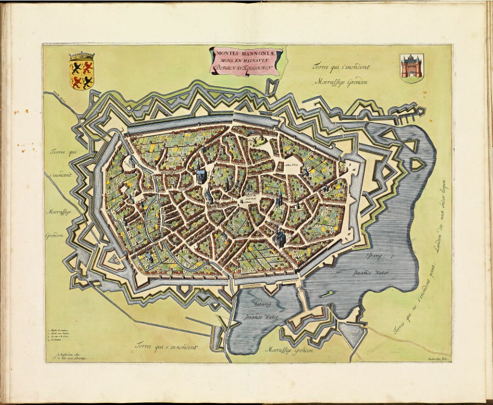
atlas van der hagen
atlas van der hagen (volume 2)
atlas van der hagen (volume 4)
maps made in the 17th century
atlantis magni tomus secundus (biblioteca comunale di trento)
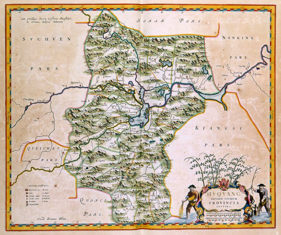
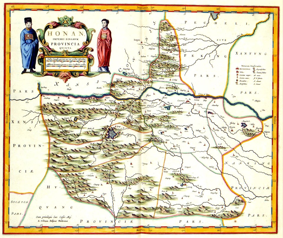
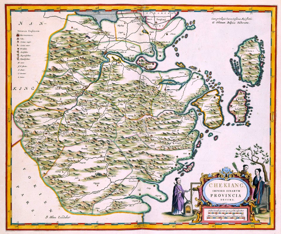
17th-century maps of china
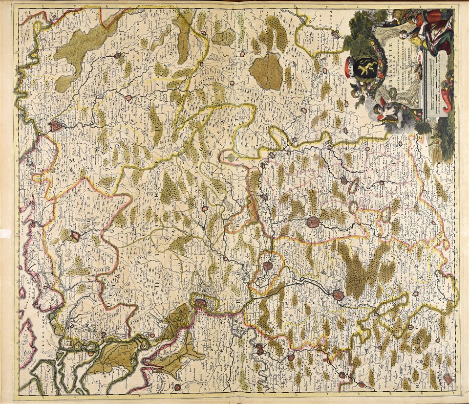
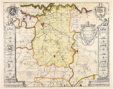
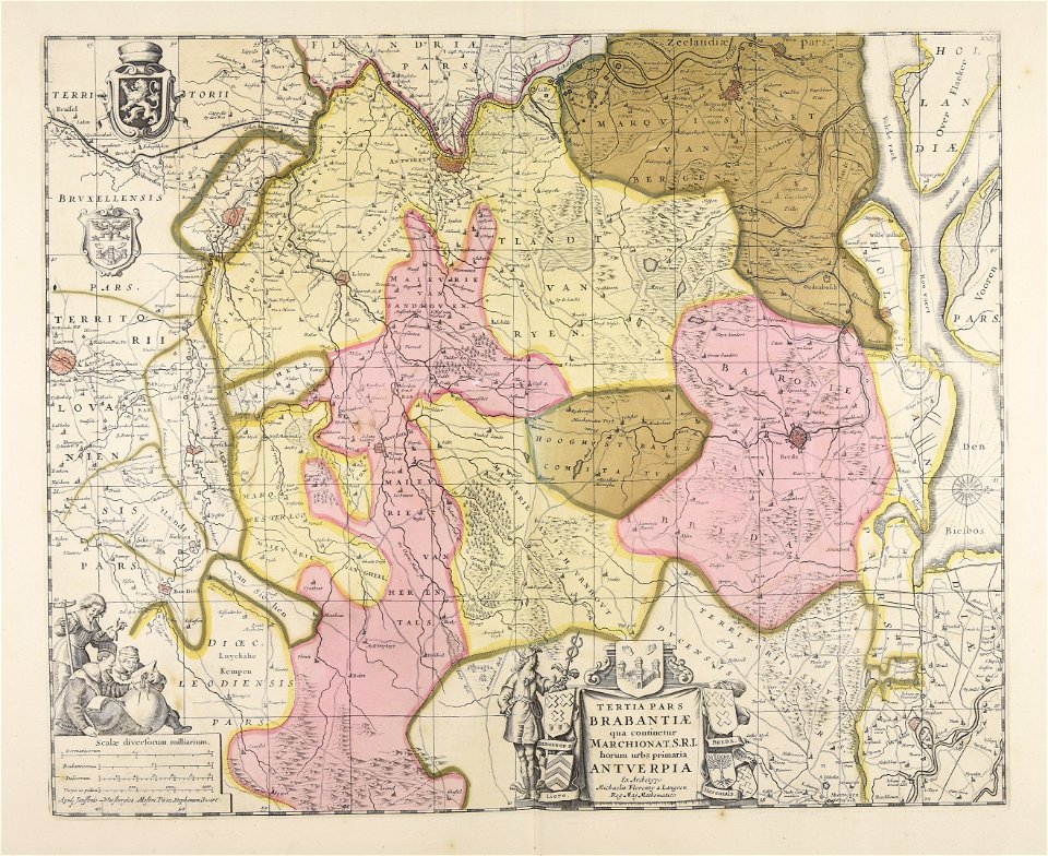
old maps of brabant
atlantis magni tomus tertius (biblioteca comunale di trento)
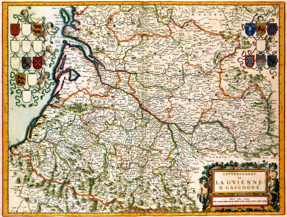
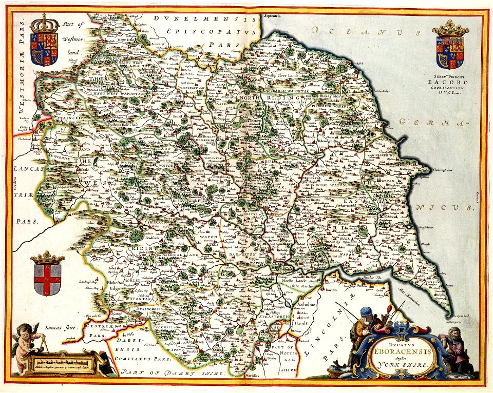
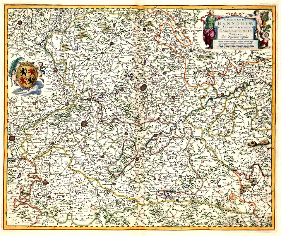
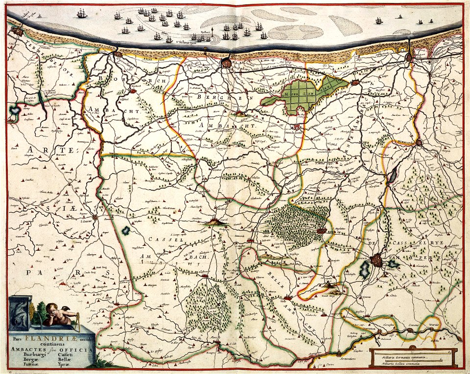
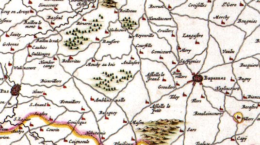
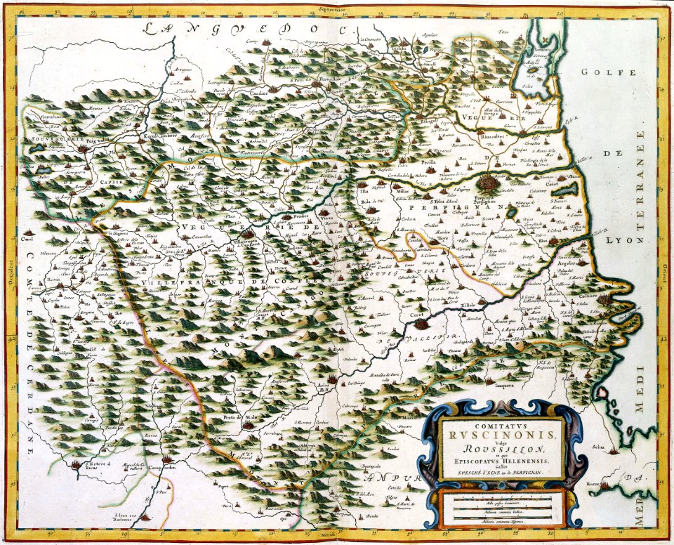
17th-century maps of france
maps with cartouches
atlas van der hagen
maps with cartouches
atlas van der hagen
maps with cartouches
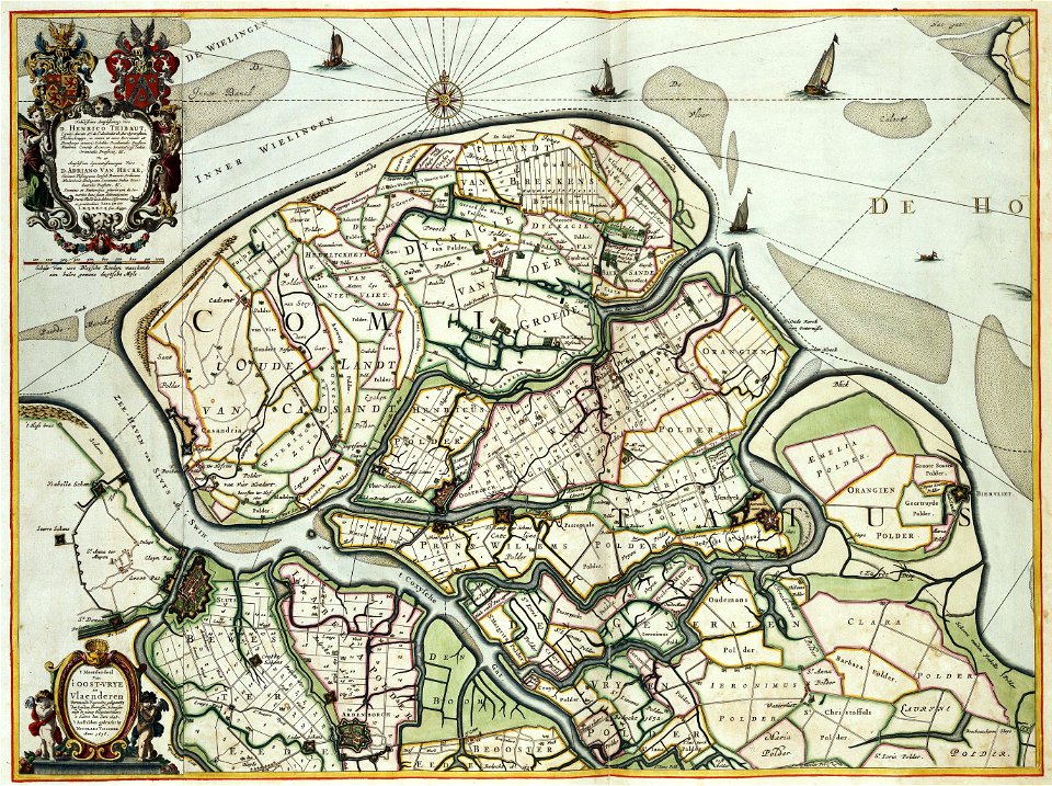
zeebrugge
maps with cartouches
atlas van der hagen
maps with cartouches
atlas van der hagen
17th-century maps of france
maps with cartouches
maps with cartouches
atlas van der hagen
maps with cartouches
atlas van der hagen
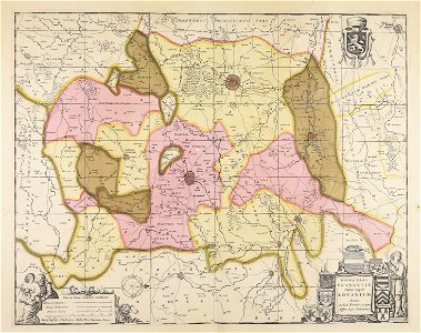
old maps of zeeland
atlas van der hagen
maps with cartouches
atlas van der hagen
maps with cartouches
atlas van der hagen
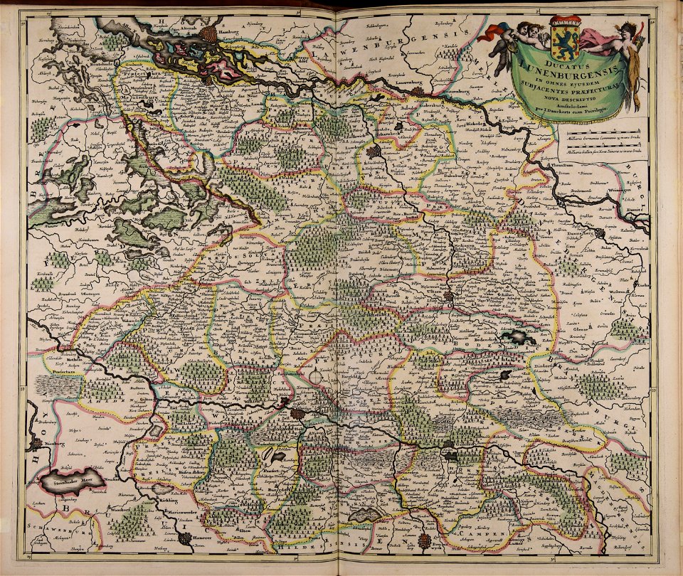
old maps of lower saxony
maps with cartouches
maps with cartouches
atlas van der hagen
maps with cartouches
atlas van der hagen
maps with cartouches
atlas van der hagen
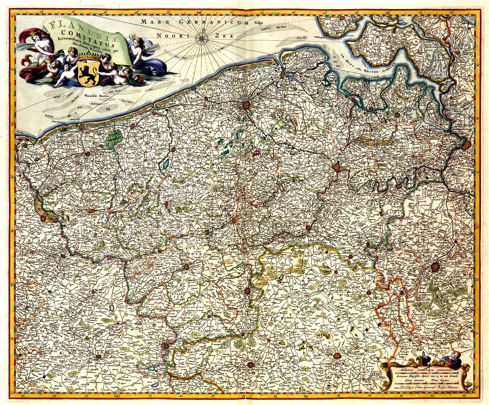
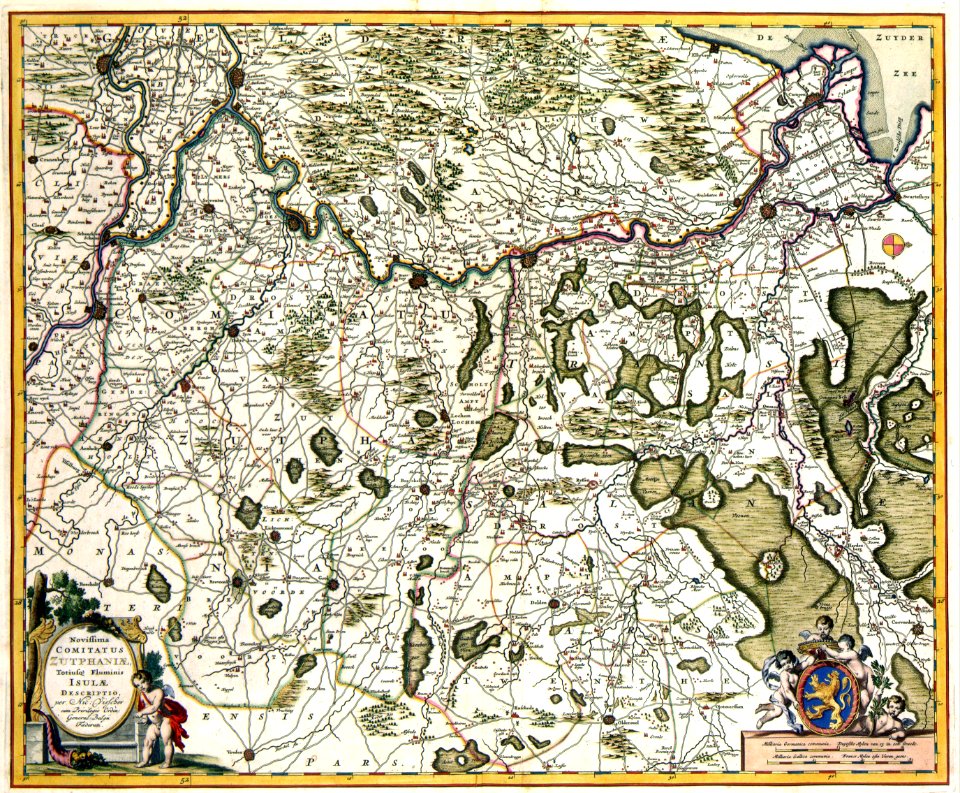
17th-century maps of the netherlands
maps with cartouches
maps with cartouches
atlas van der hagen
maps with cartouches
atlas van der hagen
atlas van der hagen
old maps of france
maps with cartouches
atlas van der hagen
17th-century maps of france
maps with cartouches
maps with cartouches
atlas van der hagen
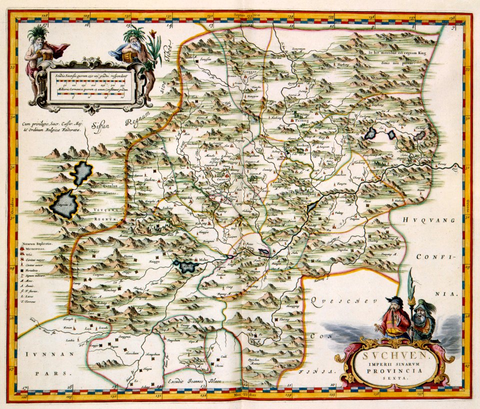
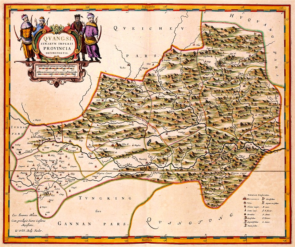
17th-century maps of china
maps with cartouches
17th-century maps of france
maps with cartouches
17th-century maps of the netherlands
maps with cartouches
17th-century maps of china
maps with cartouches
17th-century maps of china
maps with cartouches
atlas van der hagen (volume 4)
maps with cartouches
17th-century maps of france
maps with cartouches
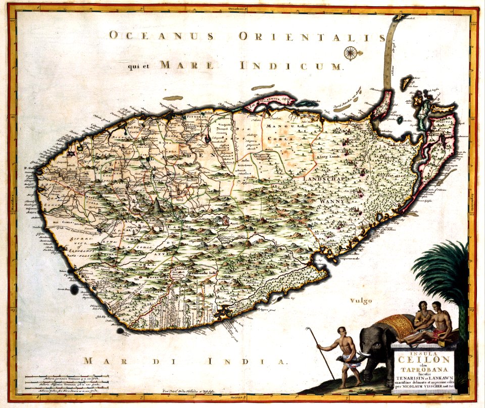
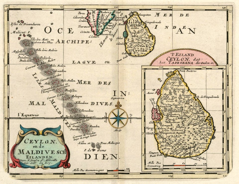
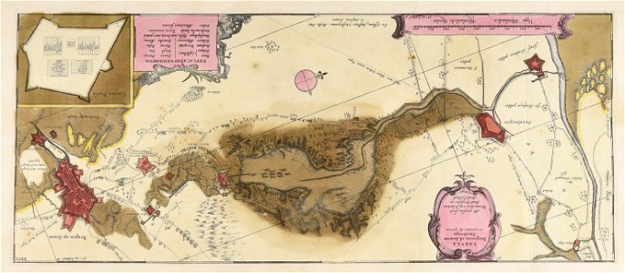
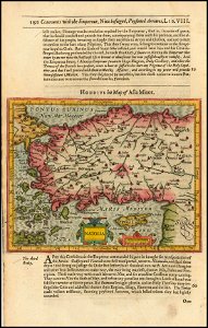
old maps of sri lanka
maps with cartouches
17th-century maps of china
maps with cartouches
17th-century maps of china
maps with cartouches
17th-century maps of china
maps with cartouches
atlas van der hagen (volume 4)
maps with cartouches
17th-century maps of china
maps with cartouches
atlas van der hagen (volume 4)
maps with cartouches
atlas van der hagen (volume 4)
maps with cartouches
atlas van der hagen (volume 4)
maps with cartouches
atlas van der hagen (volume 4)
maps with cartouches
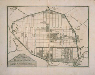
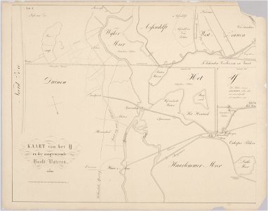
watergraafsmeer
diemen
watergraafsmeer
diemen
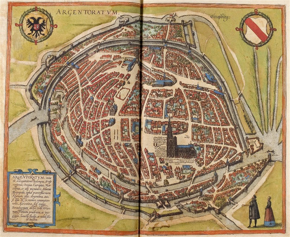
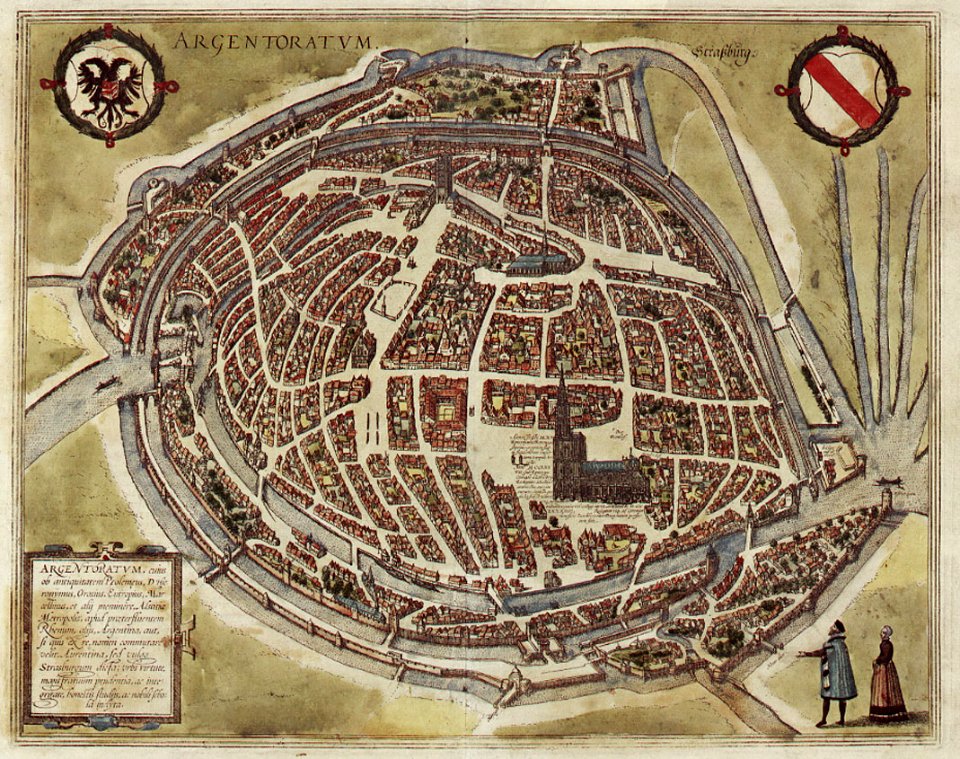
maps of strasbourg in the 16th century
braun & hogenberg
maps of strasbourg in the 16th century
braun & hogenberg
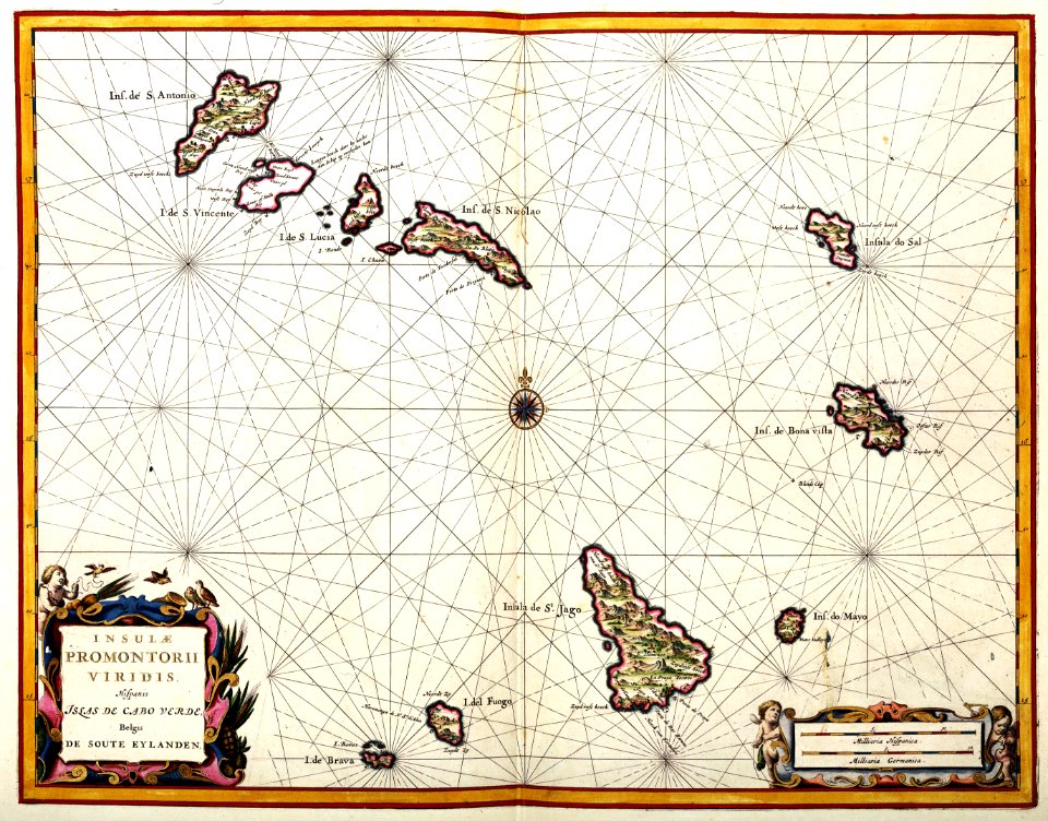
17th-century maps of the caribbean
1622
maps of the dutch east india company - sri lanka
1705
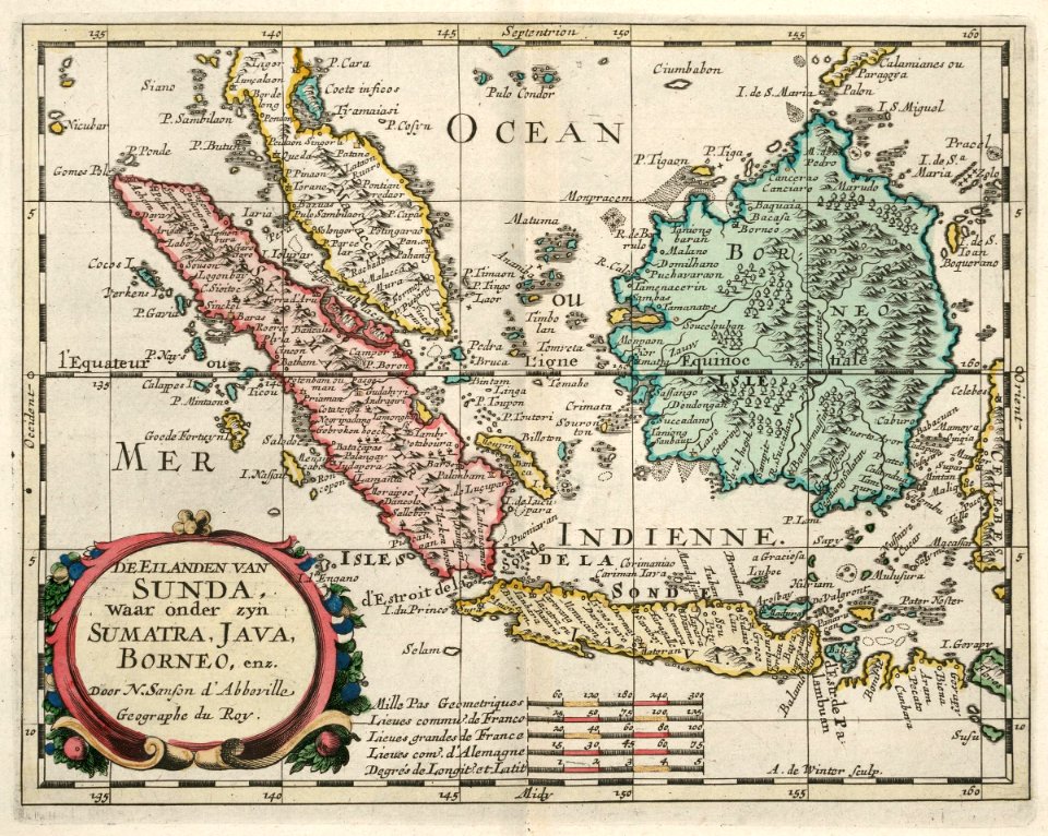
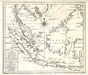
maps of the dutch east india company - indonesia
1705
maps of the west-indische compagnie
1644
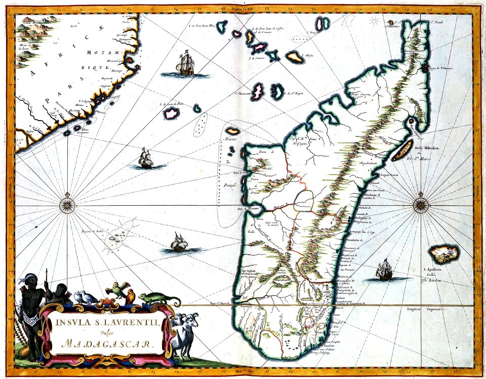
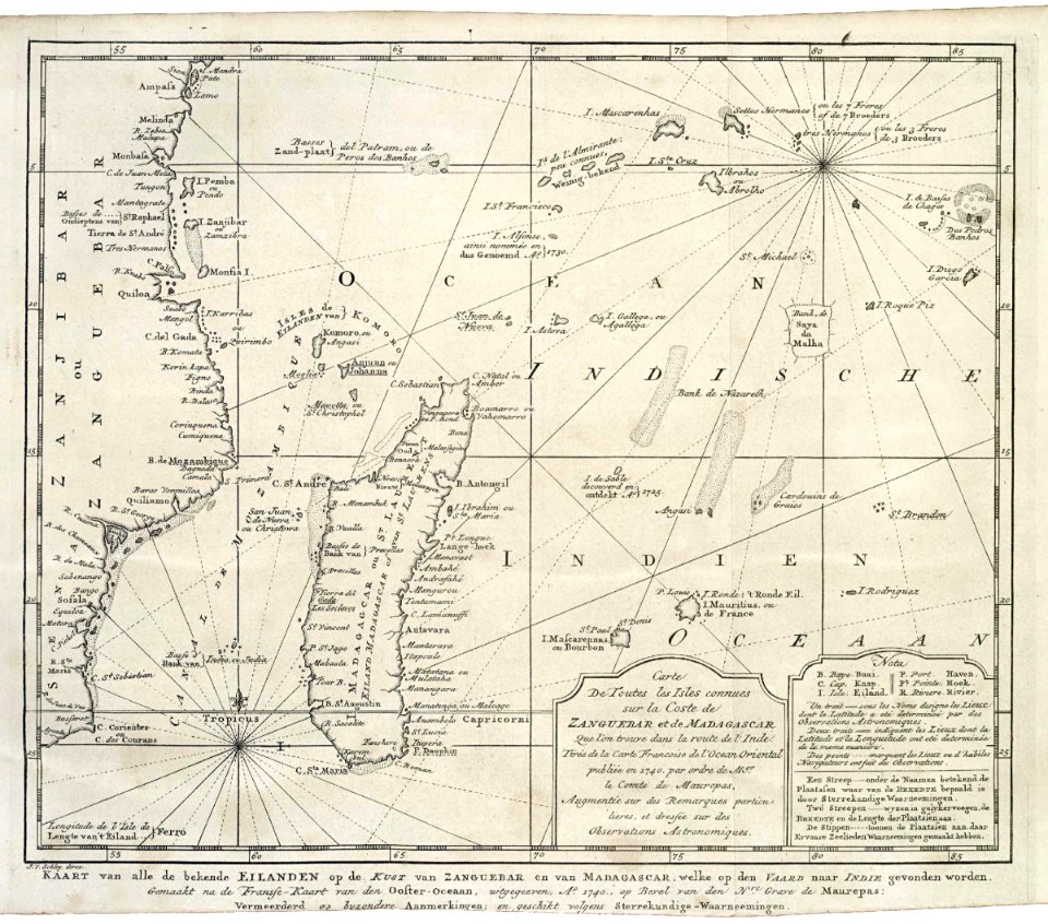
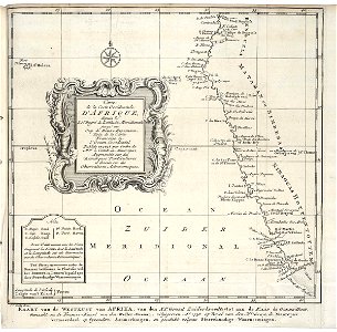
maps of the dutch east india company - madagascar
1747)
maps of the dutch east india company - indonesia
1747)
old maps of the dutch east india company
1747)
atlas de wit 1698
frederick de wit
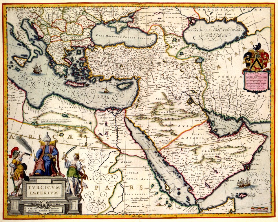
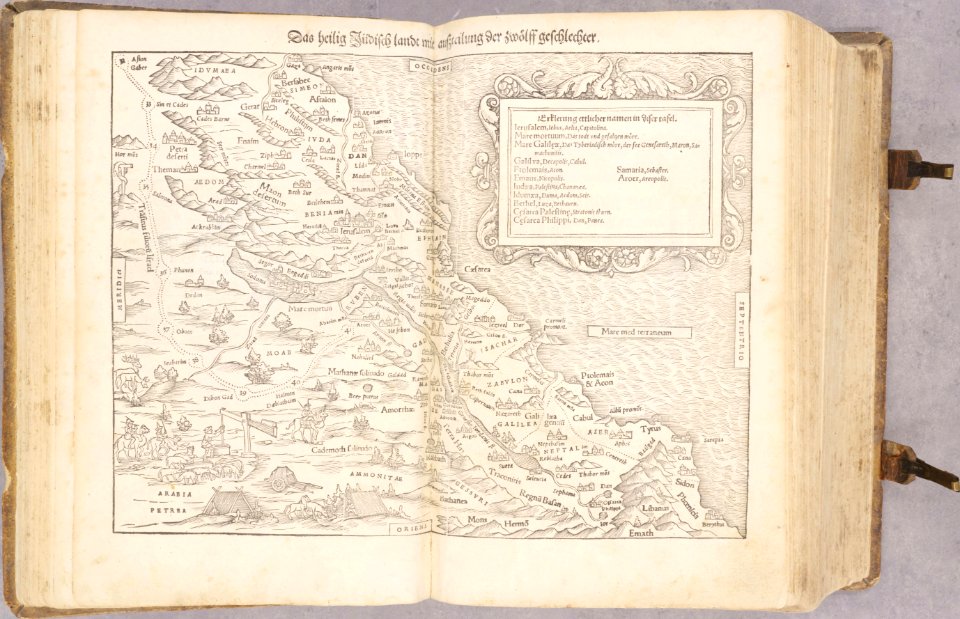
old maps of the holy land
old maps of palestine
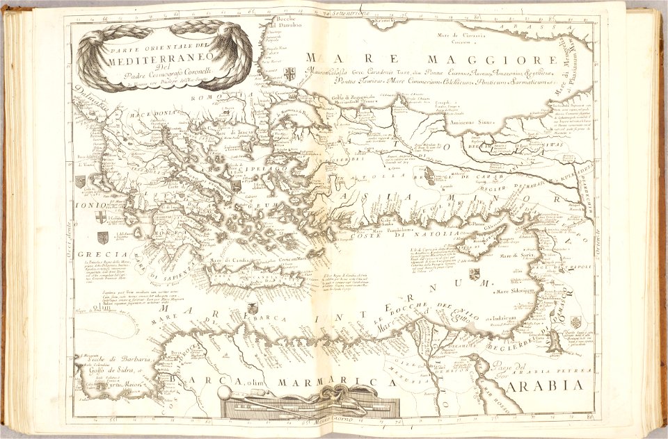
old maps of mediterranean sea
levantine sea
19th-century maps of bavaria
wertach river in augsburg
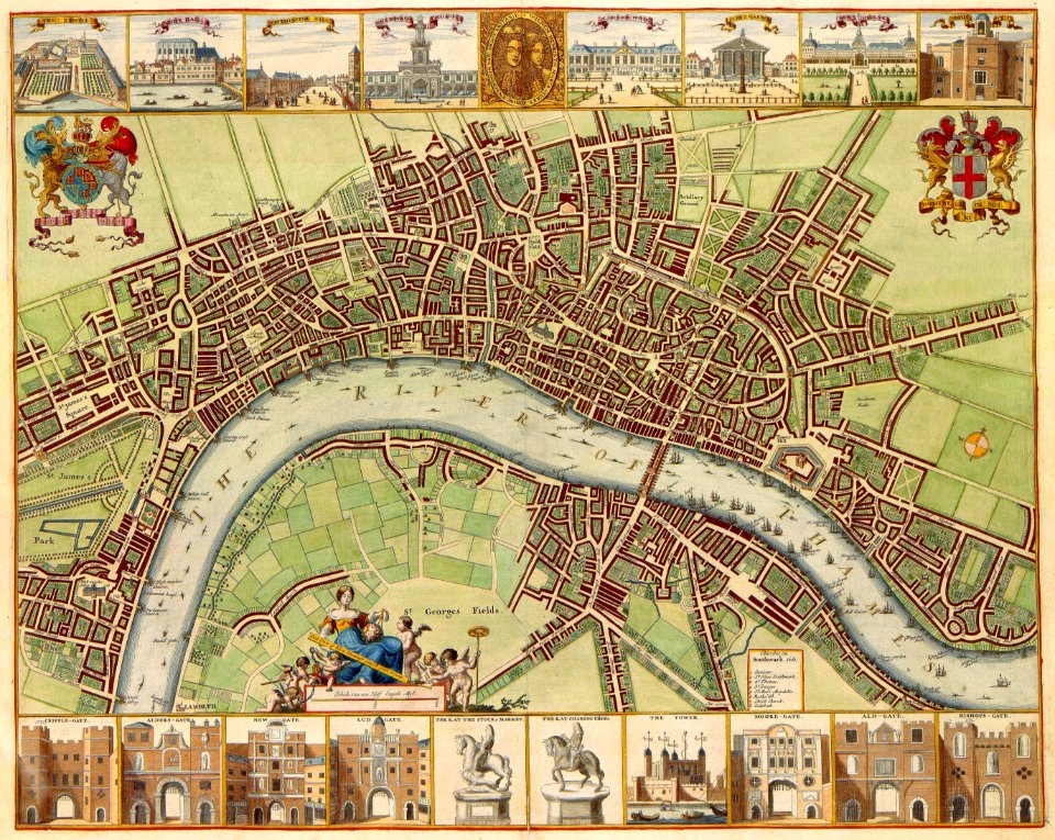
amsterdam
ij
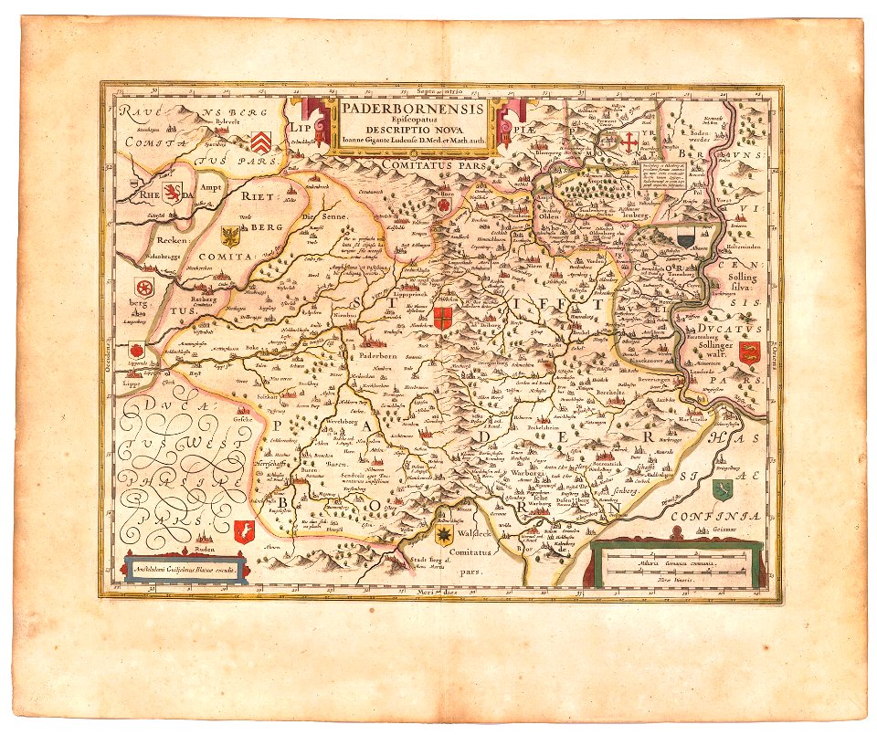
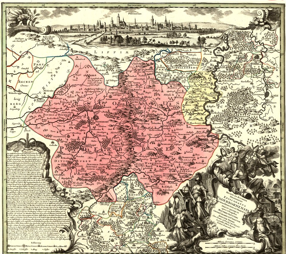
old maps of prince-bishopric of paderborn
atlas novus (blaeu)
old maps of japan
old maps of korea
middle ages in france
alexandre du mège
atlantis magni tomus secundus (biblioteca comunale di trento)
maps made in the 17th century
maps made in the 17th century
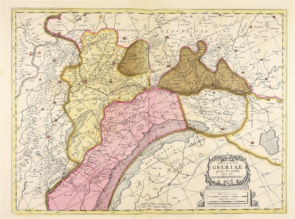
old maps of gelderland
maps made in the 17th century
old maps of gelderland
maps made in the 17th century
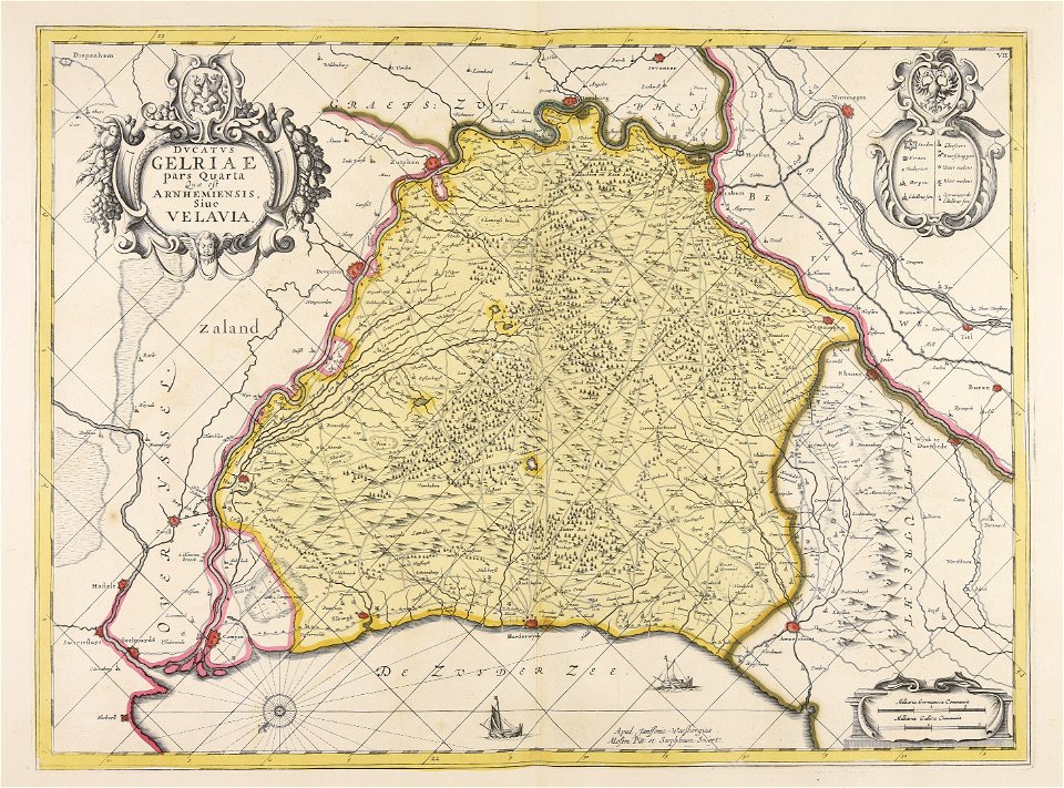
old maps of gelderland
atlantis magni tomus tertius (biblioteca comunale di trento)
maps made in the 17th century
atlantis magni tomus tertius (biblioteca comunale di trento)
maps made in the 17th century
media from national cancer institute visuals online
maps of the united states
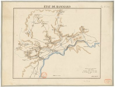
bamako in the 1880s
military maps
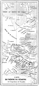
john franklin's lost expedition
volume 1 of le tour du monde
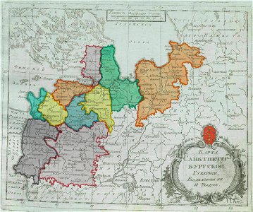
small atlas of the russian empire (1792)
maps of saint petersburg governorate
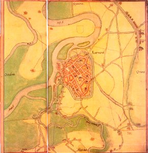
maps by jacob van deventer
old maps of roermond
atlantis magni tomus tertius (biblioteca comunale di trento)
maps made in the 17th century
hand-drawn maps and views of world war i battlefields by h.m.
old maps of the english channel
atlantis magni tomus secundus (biblioteca comunale di trento)
maps made in the 17th century
atlantis magni tomus tertius (biblioteca comunale di trento)
maps made in the 17th century
atlantis magni tomus secundus (biblioteca comunale di trento)
maps made in the 17th century
travels in various countries of europe
asia and africa
maps in the library of congress
california
atlantis magni tomus secundus (biblioteca comunale di trento)
maps made in the 17th century
media in the houghton library
harvard university
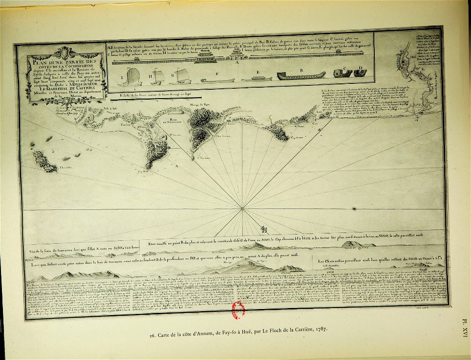
old maps of vietnam
nguyễn lords
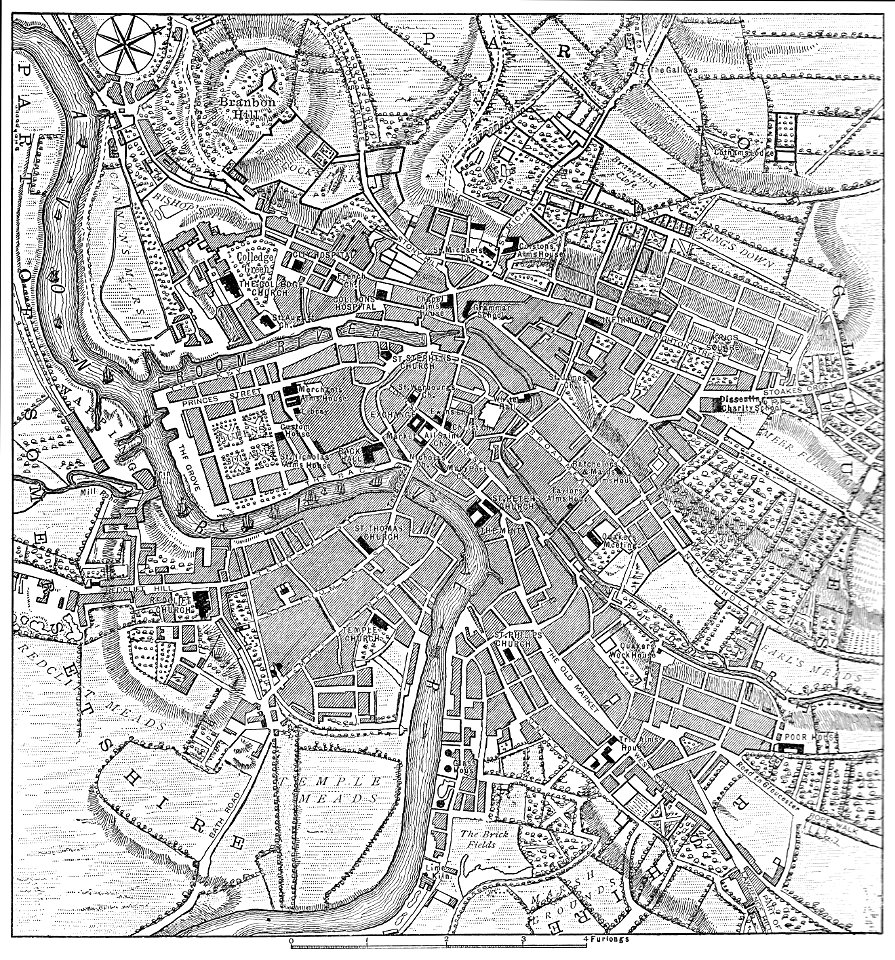
images from bristol past and present (1882)
old maps of bristol
ukiyo-e by unknown artists
1870s maps of the world
rue de siam (brest
france
maps made in the 16th century
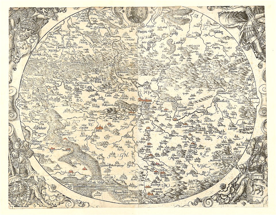
old maps of bohemia
maps by matthäus seutter
tobias conrad lotter
atlantis magni tomus tertius (biblioteca comunale di trento)
maps made in the 17th century
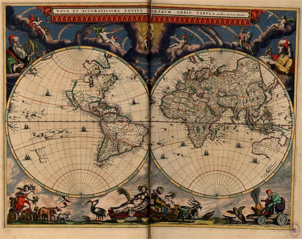
double hemisphere world maps
copper engraving
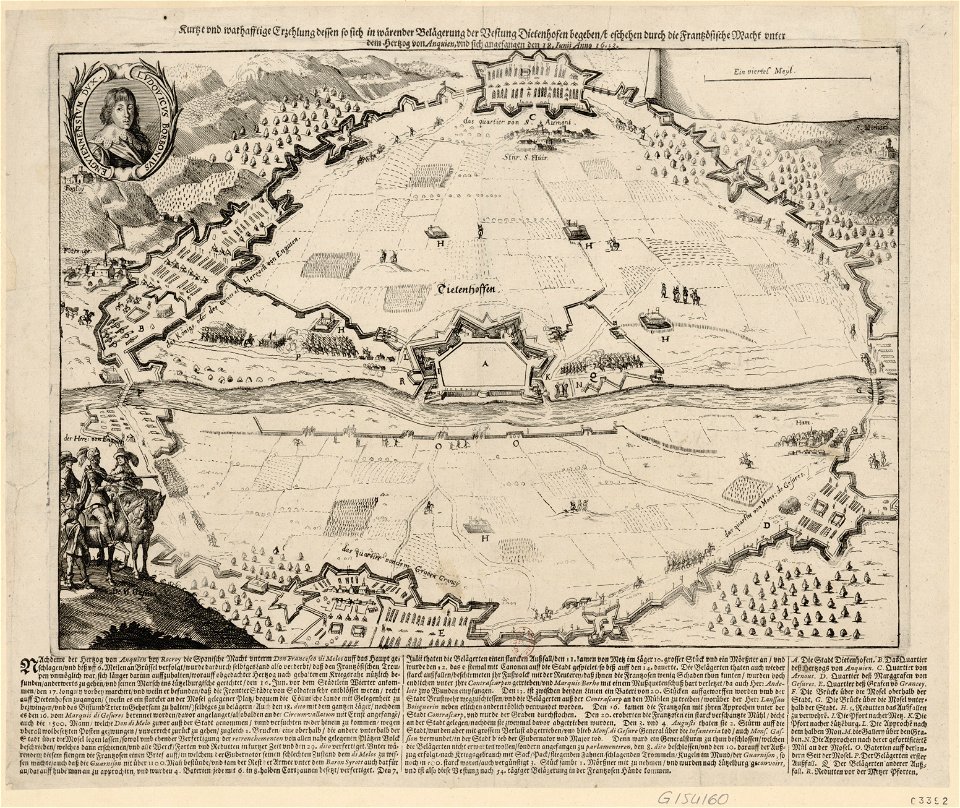
maps of thionville city walls
louis
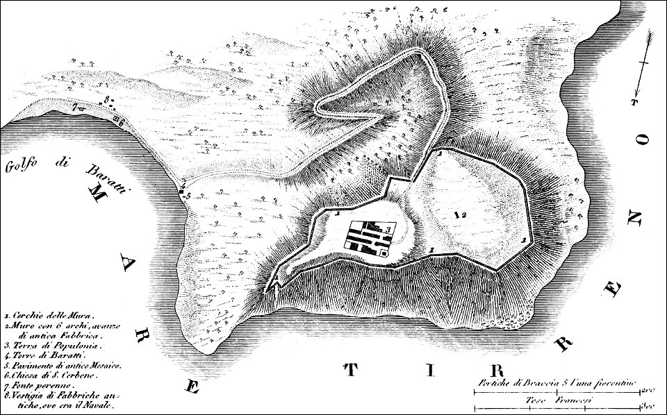
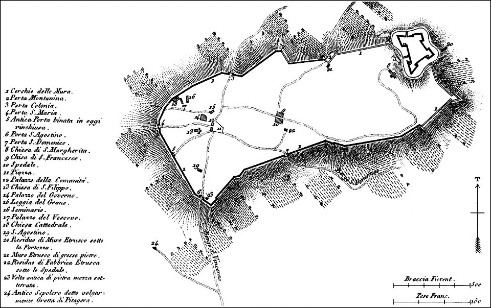
maps of archaeological sites in italy
old maps of tuscany
maps of archaeological sites in italy
old maps of tuscany
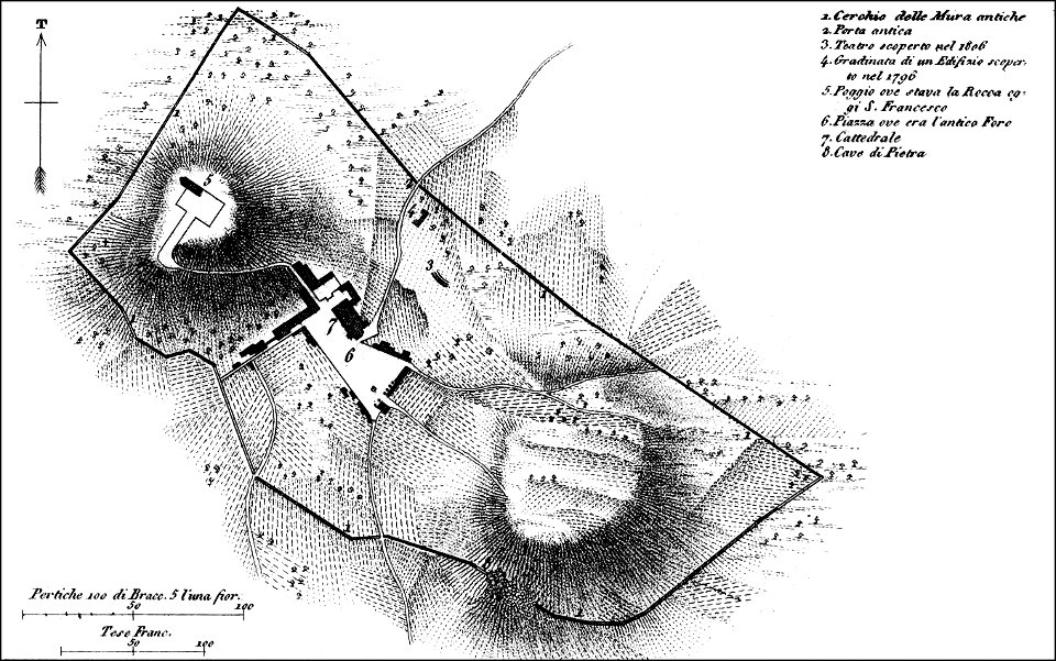
maps of archaeological sites in italy
history of cortona
atlantis magni tomus secundus (biblioteca comunale di trento)
maps made in the 17th century
atlantis magni tomus secundus (biblioteca comunale di trento)
maps made in the 17th century
atlantis magni tomus primus (biblioteca comunale di trento)
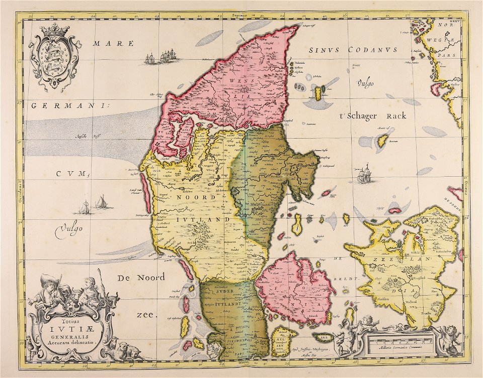
17th-century maps of denmark
maps in the library of congress
new york
carte de la mer mediterranée (1764) by roux
eran laor cartographic collection
carte de la mer mediterranée (1764) by roux
eran laor cartographic collection
trams in warsaw
maps of warsaw
tobias conrad lotter
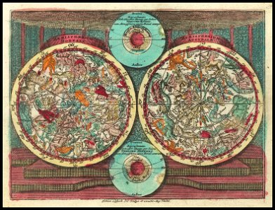
old celestial maps
maps by jodocus hondius
samuel purchas
joan blaeu
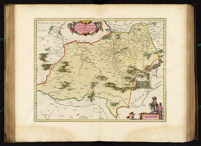
vogtland
5301 - 5400 of 33,884
Next page
/ 339